QUICK FACTS
Where is it? Bear Island, Svalbard [74.43137835, 19.058443166]
What’s in the photo? Atmospheric vortices in the clouds and a swirling algal bloom in the ocean
Which satellite took the photo? NASA Aqua
When was it taken? July 13, 2023
This striking satellite shot shows a pair of simultaneous phenomena painting parallel swirls in the sea and sky surrounding Bear Island. The isolated land mass, also known as Bjørnøya, is located in Norway’s Svalbard archipelago and is surrounded by highly radioactive waters that may endanger local wildlife — which, ironically, does not include many bears.
In the upper left corner of the image, a gap in the clouds is trailed by a series of interlinked cloud swirls that appear to have been platted together like a pretzel. These swirls, known as von Kármán vortices, are formed when clouds get caught up in an airflow that has been disrupted by a tall landmass, most often above an ocean, according to NASA’s Earth Observatory.
In this case, the vortices are created by clouds passing over Miseryfjellet, the largest mountain on Bear Island. Miseryfjellet, which translates to “misery mountain,” has three peaks: Urd, Verdande and Skuld, named after a trio of deities from Norse mythology, known as the Norns. The tallest peak, Skuld, stands around 1,759 feet (536 meters) above sea level.
In the center of the image, a gigantic bloom of photosynthetic algae, or phytoplankton, can be seen swirling near the surface of the Barents Sea. The light green hues of the algal artwork are the result of chlorophyll — the pigment in algae and plants that allows them to convert sunlight into energy, via photosynthesis. The spiraling shapes of the bloom, which spans up to 250 miles (400 kilometers) across, are the result of ocean currents.
Related: See all the best images of Earth from space

The simultaneous appearance of von Kármán vortices and the algal bloom is a complete coincidence and the two phenomena are in no way connected, according to Earth Observatory.
Bear Island
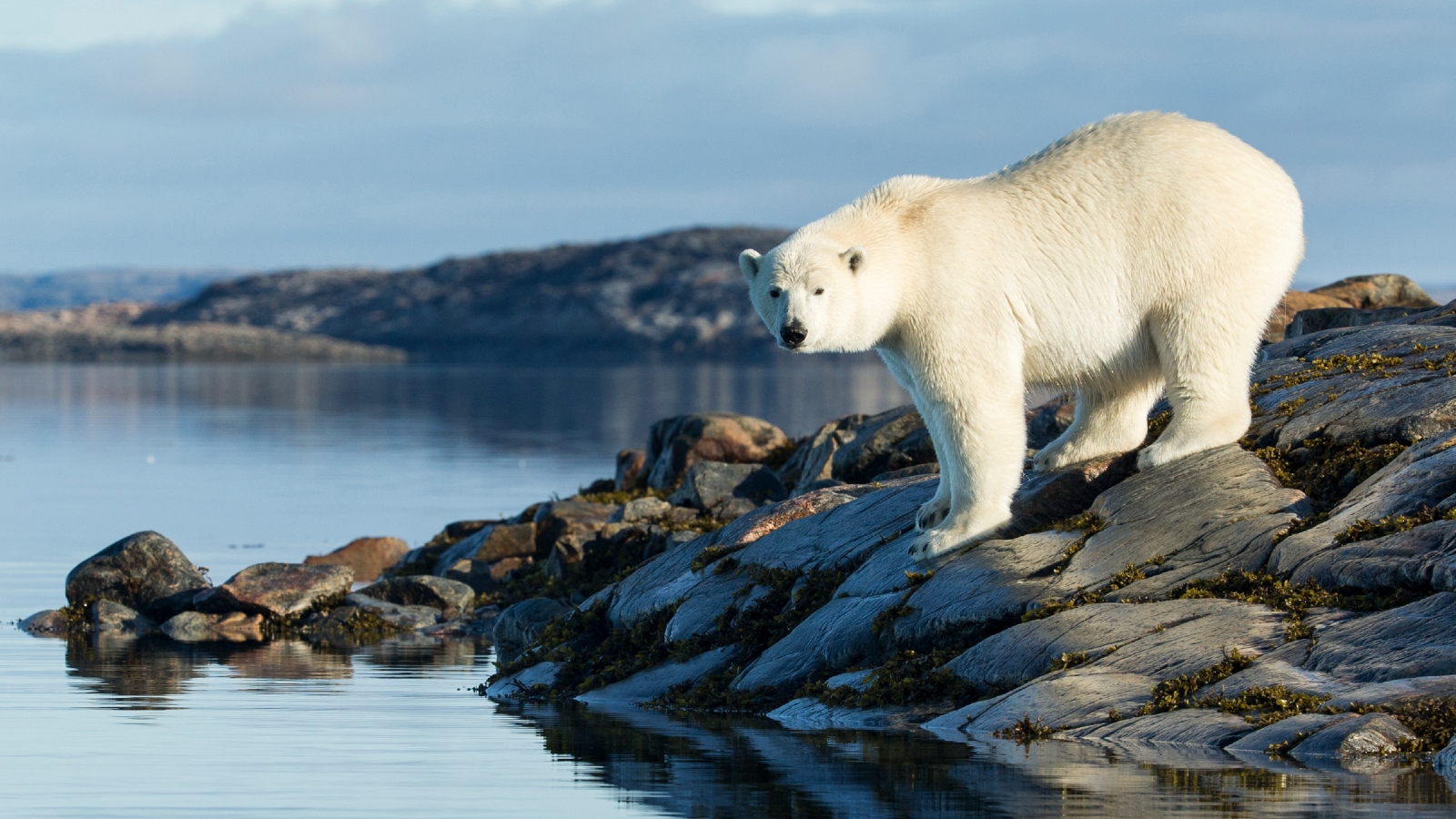
Dutch explorers first discovered Bear Island in the late 16th century and named it after a polar bear (Ursus maritimus) that was seen swimming nearby. However, polar bears are rarely seen on the island, which is one of the most southern points in Svalbard and is rarely accessible to the white bears via Arctic sea ice.
For example, in 2019, researchers stationed at the Bjørnøya weather station spotted a polar bear for the first time in more than 8 years, according to PolarBearScience.com.
Instead, the island’s most abundant residents include foxes, seals and seabirds. In total, around 1 million seabirds gather along the island’s cliffs every year during the breeding season, according to Earth Observatory.
However, in recent years, fears have been raised about how these birds and the rest of the island’s ecosystem could be impacted by an unusual spike in radioactivity leaking from a Cold War-era nuclear submarine, K-278 Komsomolets, which sunk to the seafloor in 1989 roughly 115 miles (185 km) southwest of Bear Island.
In 2019, the BBC reported that the levels of radiation in the water surrounding the submarine were 800,000 times higher than normal, thanks to continued leakage from the vessel’s reactor. However, it is still unclear whether this could be impacting the wider marine environment.


Leave a Comment